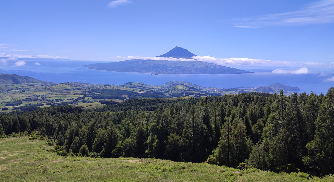
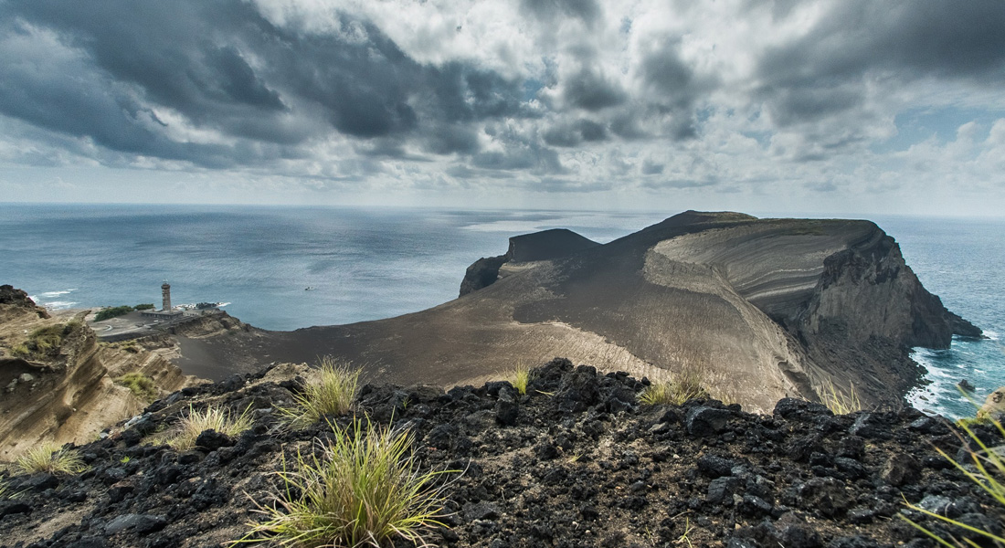
This route unfolds in the natural reserve of Caldeira do Faial, within the protected landscape area of the Central Zone, and concludes in a protected area for the management of habitats or species of Capelinhos, Northwest Coast, and Varadouro. Throughout the journey, the island’s genesis is evident with passages through the Geosites of Caldeira, the volcanic ridge of the Capelo Peninsula, and the area of the Capelinhos Volcano and Costado da Nau.
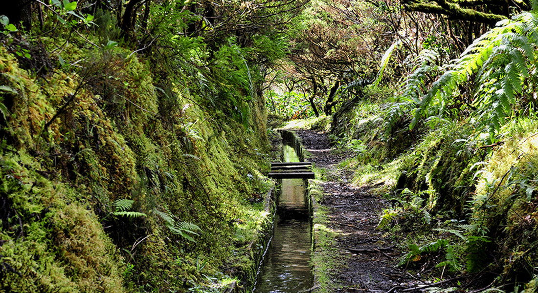
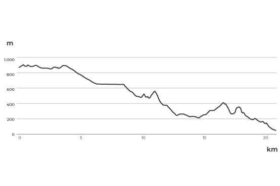
The Trail of the 10 Volcanoes is one of the most spectacular and challenging hikes on Faial Island, starting at the island’s summit, the Caldeira, and ending at Capelinhos. This trail traverses a unique volcanic landscape, offering hikers the opportunity to explore the island’s natural beauty and geological history. The hike is challenging, with uneven terrain and some steep climbs, but rewarding, providing a unique immersion experience in the wild nature of the Azores. Along the way, hikers can observe the local flora and fauna. In summary, the Trail of the 10 Volcanoes is an incredible journey for nature lovers and hiking enthusiasts, providing an unforgettable experience of discovery and adventure on the stunning island of Faial, in the Azores.
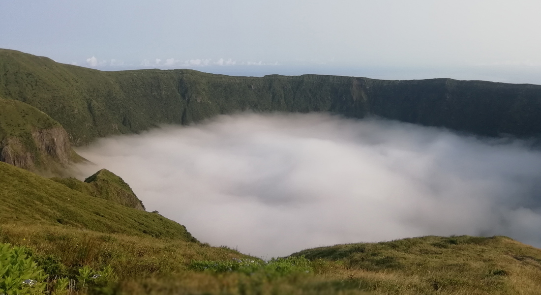
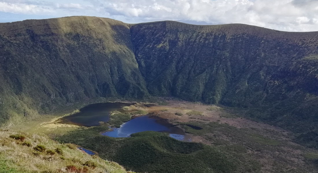
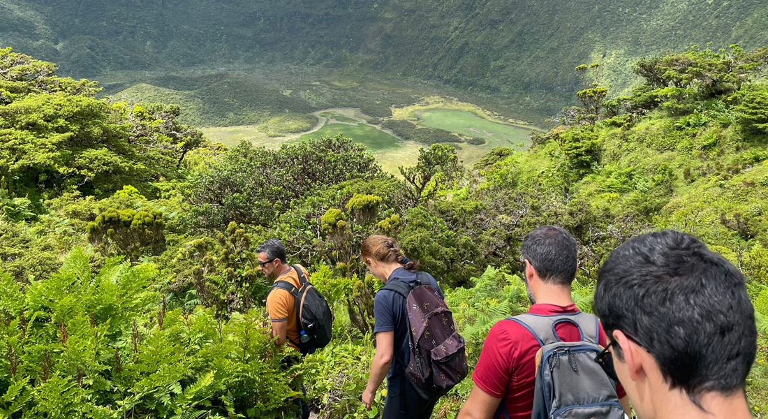
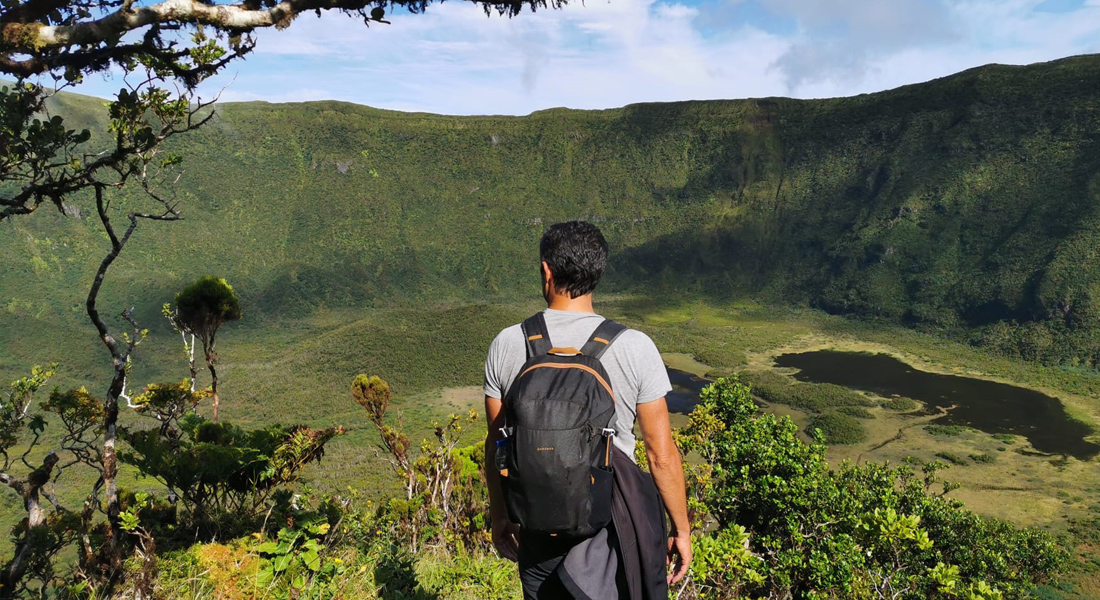
A Caldeira do Faial é uma reserva natural muito especial desde 1972 (categoria I – IUCN). É uma cratera de colapso vulcânico com características únicas. A descida à Caldeira do Faial é uma experiência excepcional. Por isso o Parque Natural do Faial controla o seu acesso, emitindo as autorizações necessárias. É permitido ir com Guia certificado. O interior da Caldeira do Faial representa uma das manchas mais intactas de floresta nativa dos Açores. É um dos poucos sítios visitáveis, onde ainda se pode sentir, e imaginar como eram os Açores antes da presença humana. O trilho é de dificuldade difícil porque é muito estreito e íngreme. Em algumas zonas é preciso utilizar as mãos para progredir. É frequente encontrar lama e uma área alagada no fundo, uma vez que a Caldeira é considerada um habitat húmido.