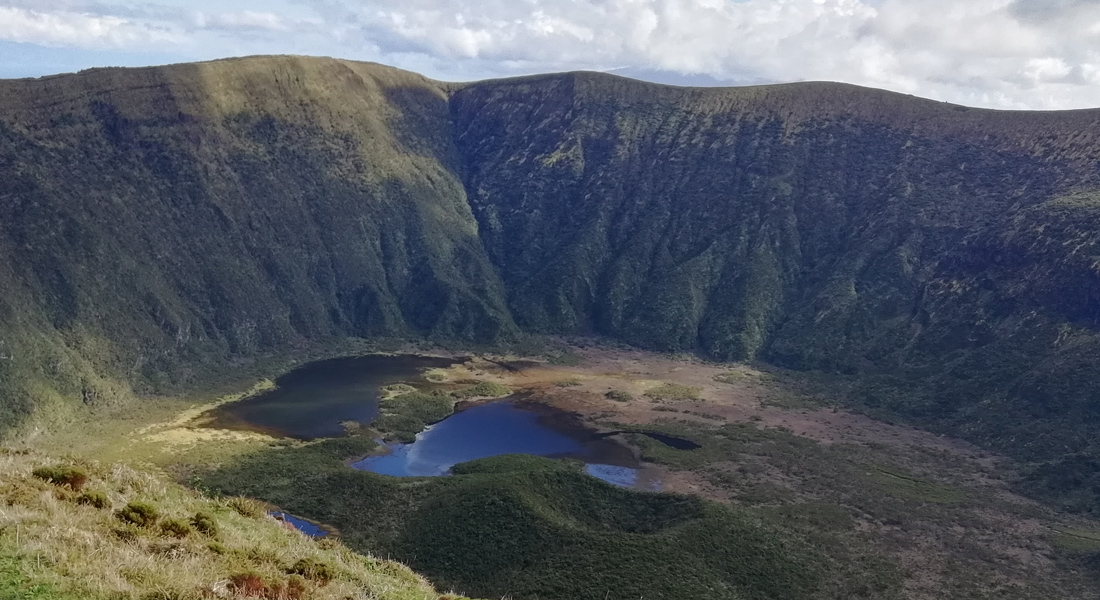
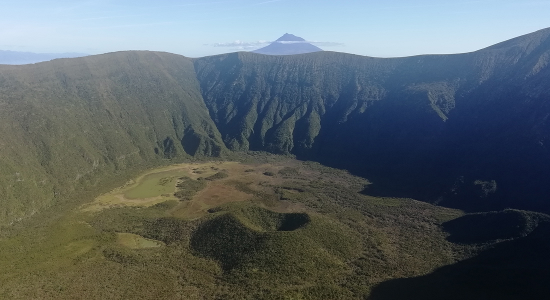
Collapse caldera, with about 2 kilometers in diameter, and it is the youngest caldera in the Azores, about 1000 years old. Inside it, it harbors two-thirds of the Azores’ endemic vascular flora, in perfect conservation condition, as well as endemic fauna from Faial and the Archipelago.
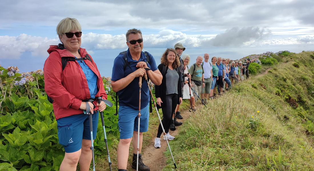
The trail around the perimeter of Caldeira do Faial offers an easy and accessible walk for visitors to enjoy a truly stunning landscape. The perimeter of Caldeira is the trail at the highest point of the island, so it is very exposed to weather conditions. It is not advisable to be done on a rainy or windy day. This route encircles the edge of the volcanic crater, allowing hikers to appreciate spectacular panoramic views of the crater and the surrounding landscape. It is ideal for visitors of all ages and fitness levels, making it an accessible activity for families, groups, and anyone wishing to explore the impressive scenery of the Azores. It is an unmissable opportunity for nature lovers and those who wish to experience the magnificence of one of Faial Island’s natural wonders.
A Caldeira do Faial é uma reserva natural muito especial desde 1972 (categoria I – IUCN). É uma cratera de colapso vulcânico com características únicas. A descida à Caldeira do Faial é uma experiência excepcional. Por isso o Parque Natural do Faial controla o seu acesso, emitindo as autorizações necessárias. É permitido ir com Guia certificado. O interior da Caldeira do Faial representa uma das manchas mais intactas de floresta nativa dos Açores. É um dos poucos sítios visitáveis, onde ainda se pode sentir, e imaginar como eram os Açores antes da presença humana. O trilho é de dificuldade difícil porque é muito estreito e íngreme. Em algumas zonas é preciso utilizar as mãos para progredir. É frequente encontrar lama e uma área alagada no fundo, uma vez que a Caldeira é considerada um habitat húmido.